©

Limone Piemonte Refuge Don Barbera Route

The stages of the Limone Piemonte to Menton itinerary

Ajouter aux favoris

Eight stages from Limone Piemonte to the peaks, then across the border to Menton. This itinerary reveals a discreet and unspoilt facet of the Alpes-Maritimes, stretching along the Roya gorges. It’s a land of contrasts, where sheer rock rubs shoulders with deep forests and isolated villages. They guide the hiker, step by step, from the peaks to the mid-mountains, then on to the Mediterranean coast. It’s a succession of authentic landscapes and small communities with a blend of Italian and French charm, enchanting by their gentleness and protecting an artistic and cultural heritage of unsuspected richness.

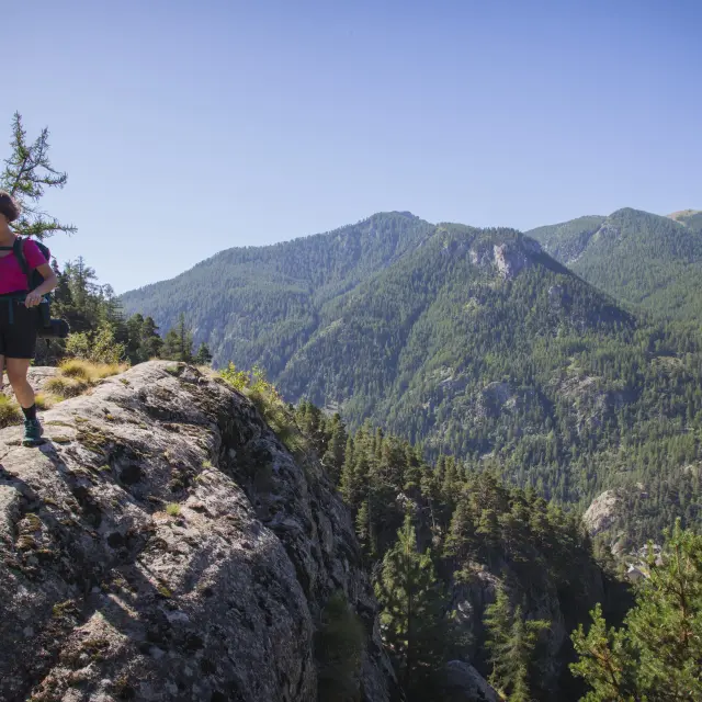
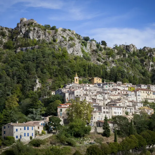
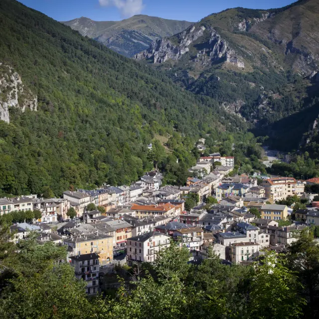
1. Limone Piemonte to Castérino

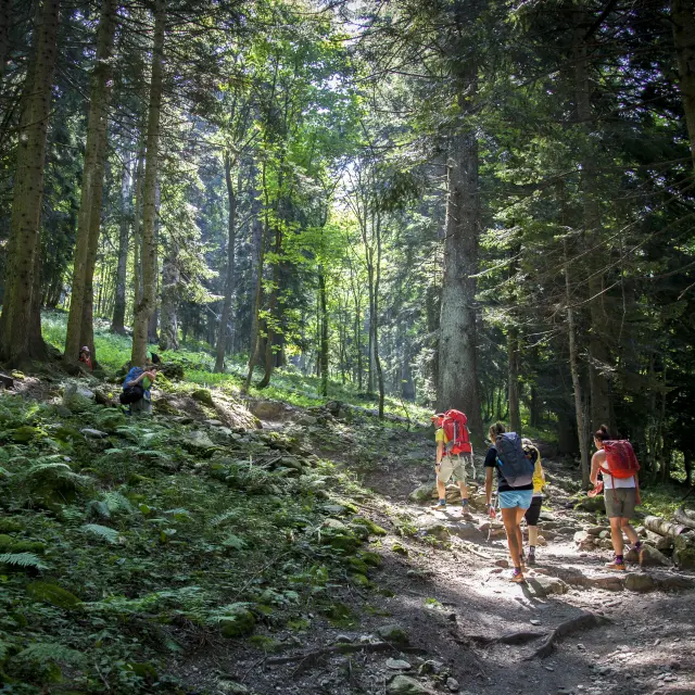
The first stage of the pedestrian crossing, heading due south towards the Mediterranean and Menton, starts from Limone Piemonte, the capital of Val Vermenagna. The overall route is tough, but can be made easier by starting from the hamlet of Limonetto, which is accessible by bus, at the cost of abandoning certain sections of the Via Romana.

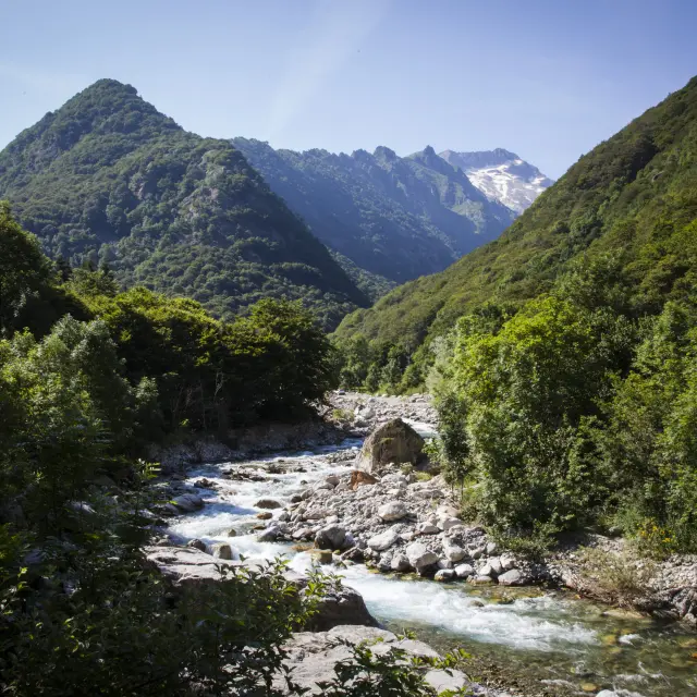
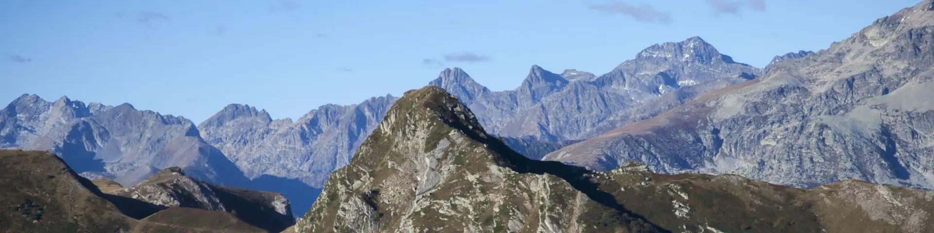
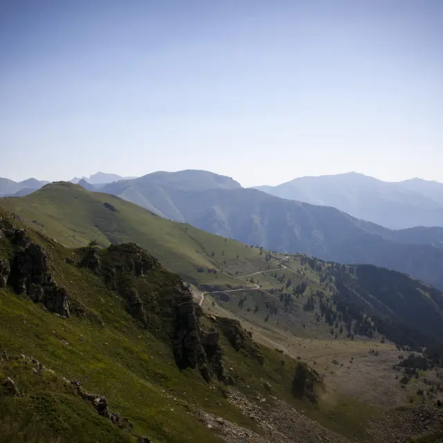
The initial ascent quickly leads to theold border military road, alternating between mineral paths and passages through steep pastures. After crossing the border ridge at the Giaure fort, set against the foothills of the Rocca dell’Abisso, the route drops down into the high Peïrefique valley.

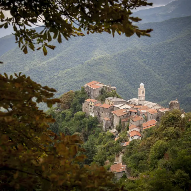
A more wooded crossing then leads to the mountain pastures of the homonymous drop, then to the hamlet of Casterino, gateway to the Merveilles and Fontanalbe valleys, dominated by the great ridge lines including the Bégo.

2. Castérino in Tende

Casterino, an emblematic site in the upper Roya valley, is the natural gateway to the Vallée des Merveilles and the Mont Bégo area, a major archaeological site with thousands of rock engravings.

A logical starting point for this stage, the Alpine hamlet paves the way for a long descent to Tende, an ancient fortified village built around a tiered centre with narrow streets and fountains, marked by its strategic position as a gateway to Italy.

A balanced blend of mountain nature and human heritage, the route winds its way between sunny slopes and coniferous forests, offering plunging views over Lac des Mesches and the Roya gorge. Leaving the valley via the old Valaire path and then the Bois path, the route joins the Roya valley, the main axis of the crossing and a historic link between the French and Italian slopes.

3. Tende to Saint-Dalmas-de-Tende

Overlooked by the course of the Roya, the route gradually leaves the valley floor and climbs upwards across the flanks, alternating between balconies and more incised sections, offering contrasting landscapes and exposures.

The transition from one side to the other marks a clear transition to a more open valley with gentler slopes, revealing the identity of the Lévensa, then the adret dominating La Brigue, a village with a remarkable architectural heritage, whose ancient facades, narrow streets and civil and religious buildings bear witness to a past linked to Alpine trade.

A diversion, subject to reservation, takes you to Notre-Dame des Fontaines, famous for its 15th-century frescoes. The route then returns to the valley floor to reach Saint-Dalmas de Tende, a former monastic centre that has become the Roya’s emblematic railway station.

4. Saint-Dalmas-de-Tende to Saorge

A stage on the right bank of the Roya, with a balance between natural areas and human presence in typical hamlets. From the monumental station at Saint-Dalmas de Tende, an emblematic railway landmark once used by the King of Italy on his travels, the route heads towards the sea before leaving the asphalt to climb up the corniche.

The route passes through woodland and ancient countryside, linking three hamlets whose buildings are squeezed onto sunny slopes in order to preserve arable land. Granile clings to a southern slope, surrounded by terraced gardens, before passing through Berghe Supérieur and then the overhang of Berghe Inférieur, stretched out over a steep ridge.

The descent through the coloured schist leads to Fontan, before a final traverse opening onto Saorge, a medieval village of stacked houses and a distinctive religious heritage, dominated by thechurch of Saint-Sauveur.

5. Saorge to Breil-sur-Roya

This stage starts in Saorge, a medieval village clinging to a narrow slope, organised vertically to cope with the restricted terrain. The terraced houses lean against the slope, revealing a dense heritage marked by sculpted lintels, the remains of the Château de Sal and listed religious buildings.

After crossing the stone bridge over the Bendola torrent, the route climbs steeply up the hillside, skirting Mount Agu and overlooking the gorges where the Roya plunges into a rugged mineral landscape. The route then passes through the old rural districts of Baousoun and Caïné, between forests and abandoned terraces, before gradually opening out onto Breil-sur-Roya, a village backing onto its lake.

Its artistic heritage, with thechurch of Santa Maria in Albis and the works of Louis Bréa, is a reminder of the historical importance of this cross-border crossroads.

6. Breil-sur-Roya to Sospel

This is a pivotal stage in the crossing, marking the transition from the Roya to the Bévéra valleys, as you gradually head south-west towards the hills and mountains that herald the approach of the Menton Riviera.

From Breil-sur-Roya, the route reaches Piène-Haute, a hamlet perched on a ridge with tightly-packed architecture, whose strategic position provides access to the slopes leading down to the Bévéra, in an already more southerly atmosphere surrounded by olive trees. Continuing on, the route passes under the Col de Brouis, a historic pass overlooking the wooded mountains, surrounded by military works reminding us of the defensive importance of this long disputed border area.

Below, the climb up the Bévéra towards Sospel leads to the fortified medieval bridge and the baroque co-cathedral of Saint-Michel, marking the entrance to a village with a rich heritage.

7. Sospel to Gorbio

The final destination of the penultimate stage before the sea, Gorbio, a village perched between Menton and the rocky barrier dominated by the summit of Baudon, is built around its old fort and the Lascaris castle.

From Sospel, the route takes you on a steady climb, winding between dense forests and limestone ridges, revealing an inner mountain still marked by military and pastoral practices. Passing close to Fort Suchet, followed by a series of mountain passes, the route gradually opens up towards the coast.

As you descend the southern slopes, the vegetation changes and reveals a more marked Mediterranean influence, with the first glimpses of the sea, particularly as you approach Sainte-Agnès. A demanding stage from Sospel, the route offers a clear transition between inland relief and the seafront, a natural prelude to the finish in Menton.

8. Gorbio to Menton

A stage on the right bank of the Roya, with a balance between natural areas and human presence in typical hamlets. From the monumental station at Saint-Dalmas de Tende, an emblematic railway landmark once used by the King of Italy on his travels, the route heads towards the sea before leaving the asphalt to climb up the corniche.

The route passes through woodland and ancient countryside, linking three hamlets whose buildings are squeezed onto sunny slopes in order to preserve arable land. Granile clings to a southern slope, surrounded by terraced gardens, before passing through Berghe Supérieur and then the overhang of Berghe Inférieur, stretched out over a steep ridge.

The descent through the coloured schist leads to Fontan, before a final traverse opening onto Saorge, a medieval village of stacked houses and a distinctive religious heritage, dominated by thechurch of Saint-Sauveur.

You will also like...

Share this tour!