Limone Piemonte in Sanremo :hiking in figures
Itinerary Limone Piemonte A Saneremo Landscape
Itinerary from Limone PiemonteÀ la carte: 7 stages between Piedmont and the Ligurian Sea
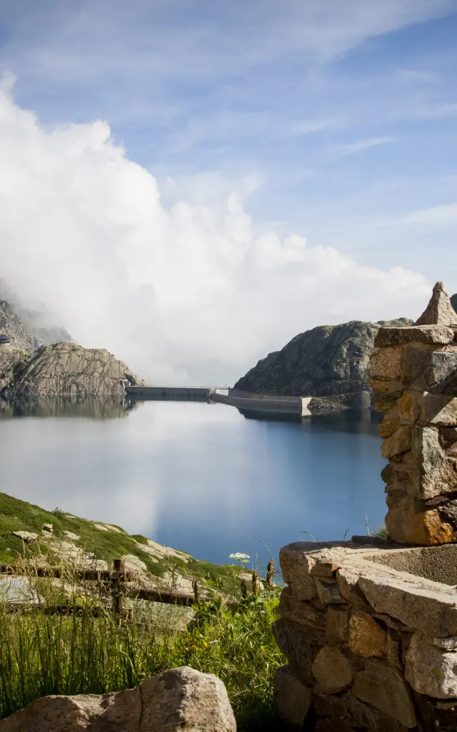
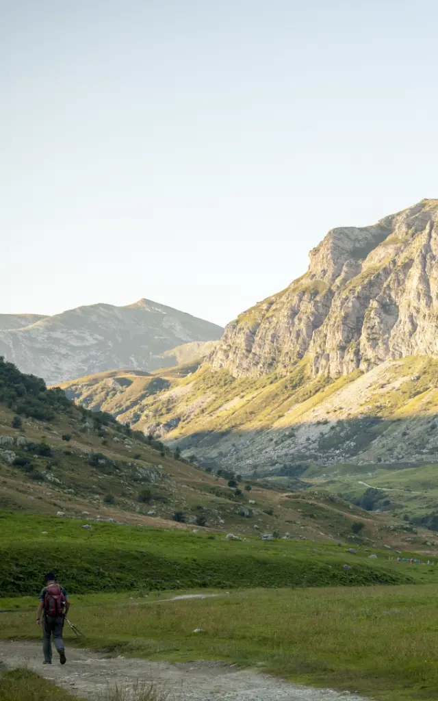
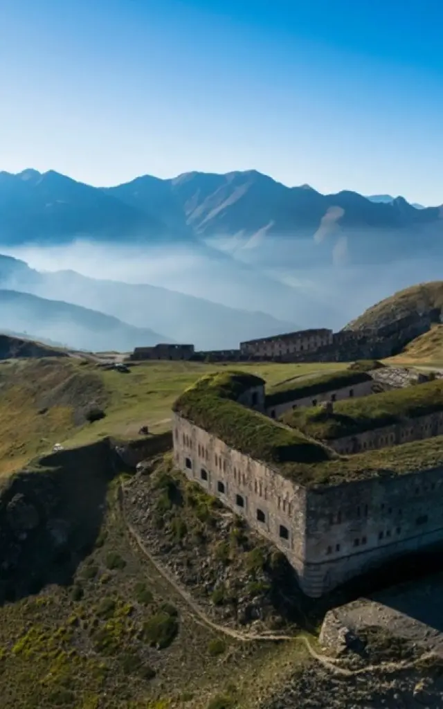
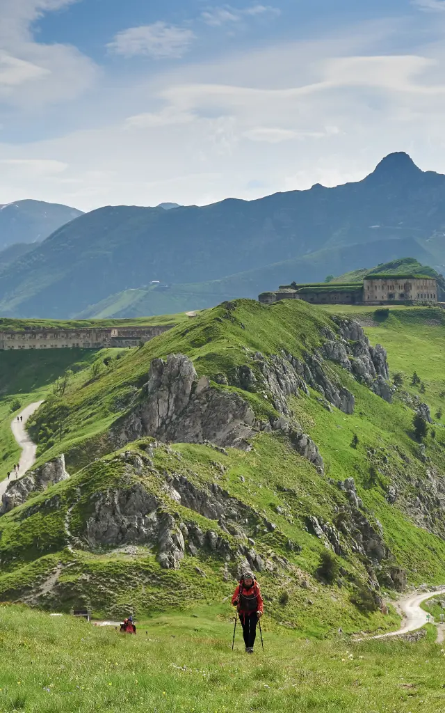
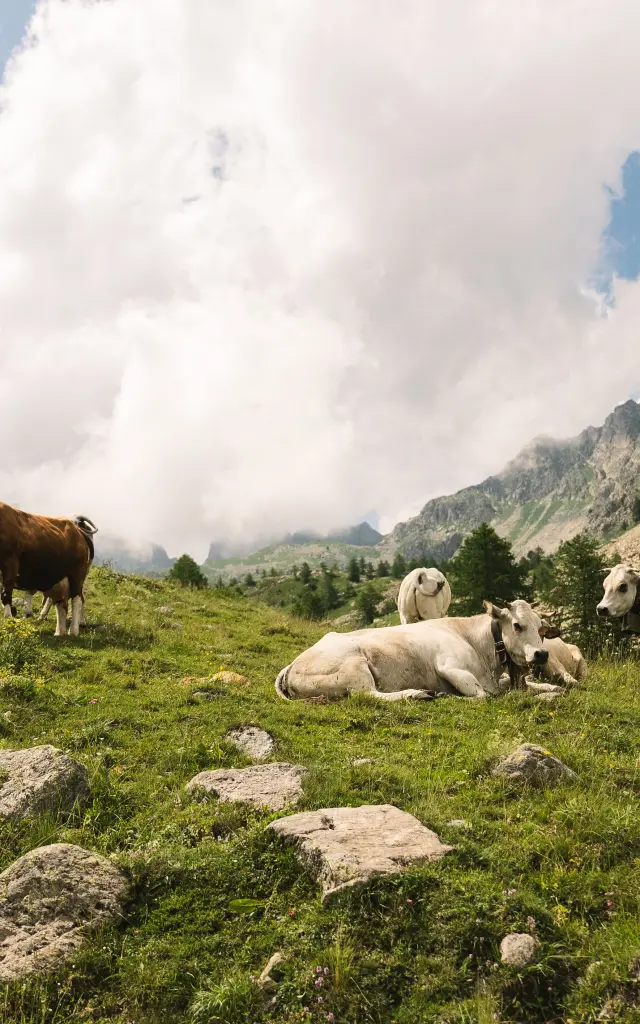
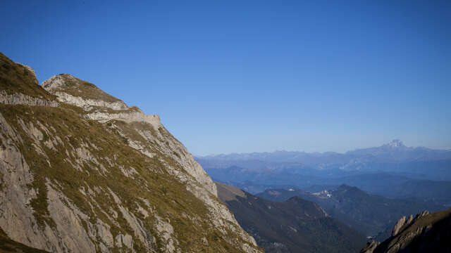
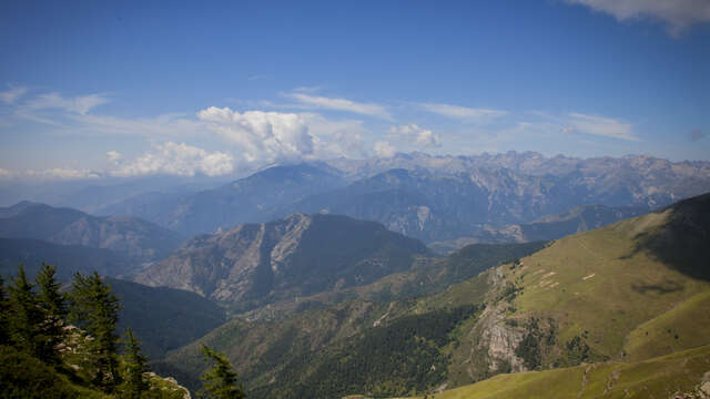
From the heights of Limone Piemonte, nestled at an altitude of over 1,000 metres in the Vermenagna valley, the route opens out onto the wide open spaces of the Piedmont Alps. Northern Italy in all its splendour! From the very first stage, the CAI L15 (Italian Alpine Club) trail winds its way up the Vallone di San Giovanni before heading for the crests of the Via del Sale, an ancient military road carved out at an altitude of over 2,000 metres on the French-Italian border. The pastures of Gias Valletta, the monumental curve of the Boaria and the Don Barbera refuge set the tone: here, the mountain is king.
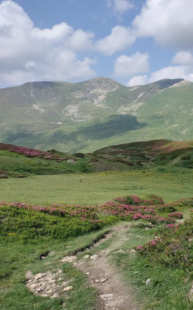
Then the magic begins. As you cross the Bosco delle Navette, its 2,700 hectares of heavy larch and fir foliage, and reach the CAI T. Gauzzi and La Terza refuges (part of the Italian Alpine Club network) at the foot of Monte Saccarello, the highest point in Liguria (at 2,200 metres), the landscape changes. The mountain pastures of Piedmont gradually gave way to chestnut groves, Mediterranean scrubland and the first hilltop villages. Carnino, Upega, Triora, Bajardo… So manypicturesque stages leading to the finishing line: the Ligurian Sea and its sun-drenched facades. Are you ready for a wonderful, sporty holiday?
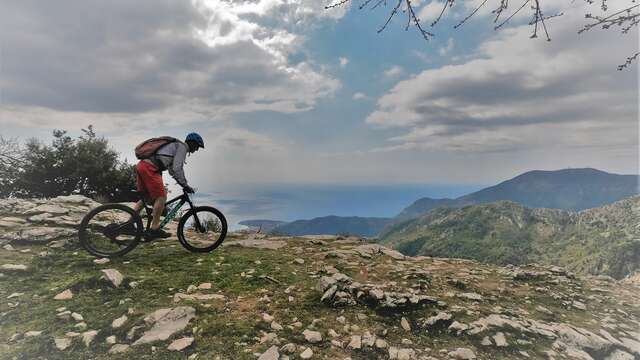
Haute Route Du Sel Vallee De La Roya Pango Visual 3
Cycling along the Menton coastline Landscape Sea Lesconteurs
ItineraryLimone Piemonte to Sanremo in 7 stages
StartLimone Piemonte
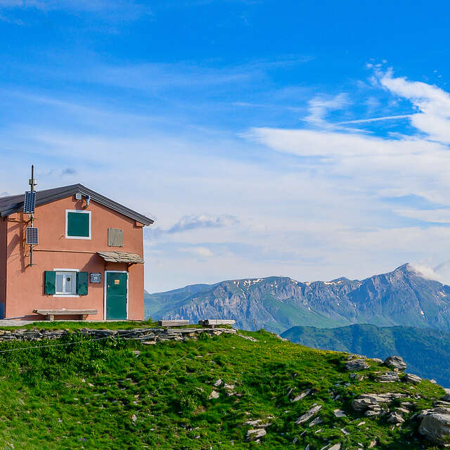
Stage 1Limone Piemonte → Refuge Don Barbera
Stage 2Don Barbera Refuge → Upega
Step 3Upega → Refuge CAI Sanremo
Step 4Refuge CAI Sanremo T. Gauzzi and Refuge de La Terza→ - Triora
Step 5Triora → CAI Allavena refuge
Step 6Refuge CAI Allavena → Bajardo
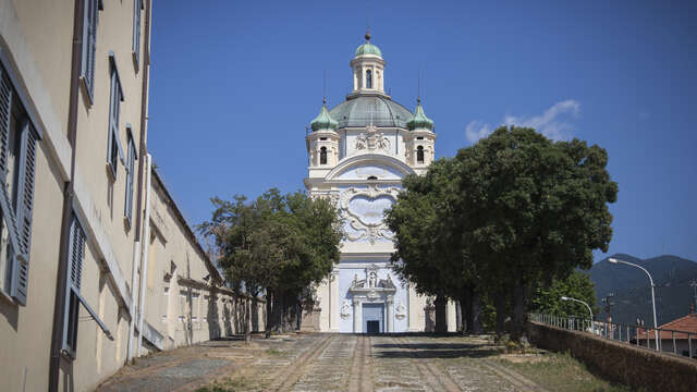
Step 7Bajardo → Sanremo
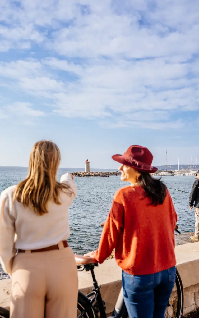
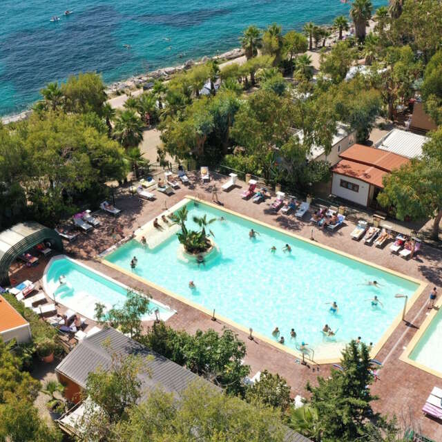
ArrivalSanremo
Cultural heritage to see
From the cappella di San Giovanni to the “witches’ village
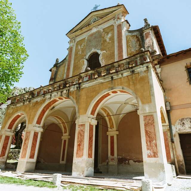
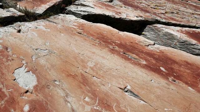
Starting out from Limone Piemonte, the cappella di San Giovanni sets the scene with its captivating painting attributed to Claudio Francesco Beaumont. The path then follows a stretch of the High Salt Road, an old military road linking Limone Piemonte to Monesi di Triora, passing through sometimes lunar landscapes.
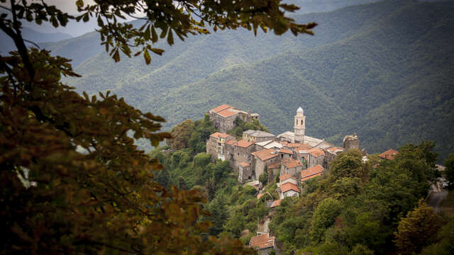
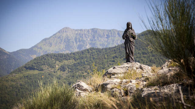
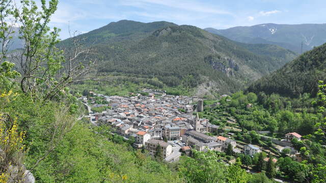
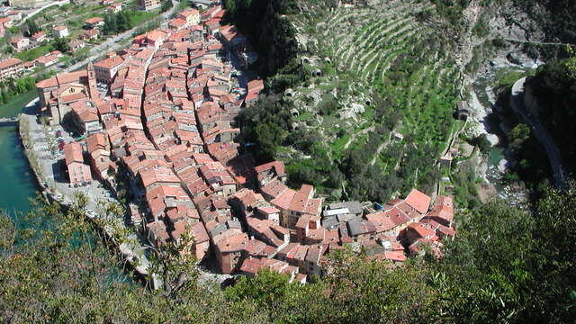
On the way to Triora, the bronze statue of Christ the Redeemer, visible from the CAI (Italian Alpine Club) T. Gauzzi and La Terza refuges, is an almost obligatory stop because of the remarkable panorama. But one of the nicest surprises on the route is the arrival in what is known as the “witches’ village”. This Roman village was the scene of Italy’s biggest witch trials in the 16th century. Today, its medieval alleyways exude a warm atmosphere that makes you want to stay for several days!
Finally, in Bajardo, the ruins of the medieval church of San Niccolò (hit by the 1887 earthquake) house a breathtaking panoramic terrace overlooking the sea. It will leave you breathless.
On your route


Limone - Camille Auriol
Limone the village @Guillaumepayen
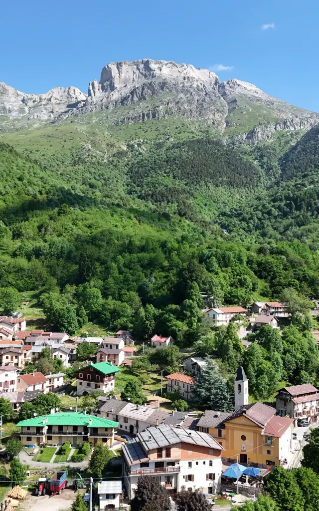
Limone Piemonte, a historic alpine ski resort
In the Vermenagna valley, Limone Piemonte is one of Piedmont’s most emblematic mountain villages. Renowned for its downhill ski slopes (the Riserva Bianca ski area is one of the busiest in the Southern Alps), the village has retained its medieval charm, with narrow streets, stone houses and Baroque chapels. A strategic crossroads between Piedmontese, Ligurian and Provençal cultures, it has long held sway over the Col de Tende and is now one of the most popular departure points for theRivierALP destination.
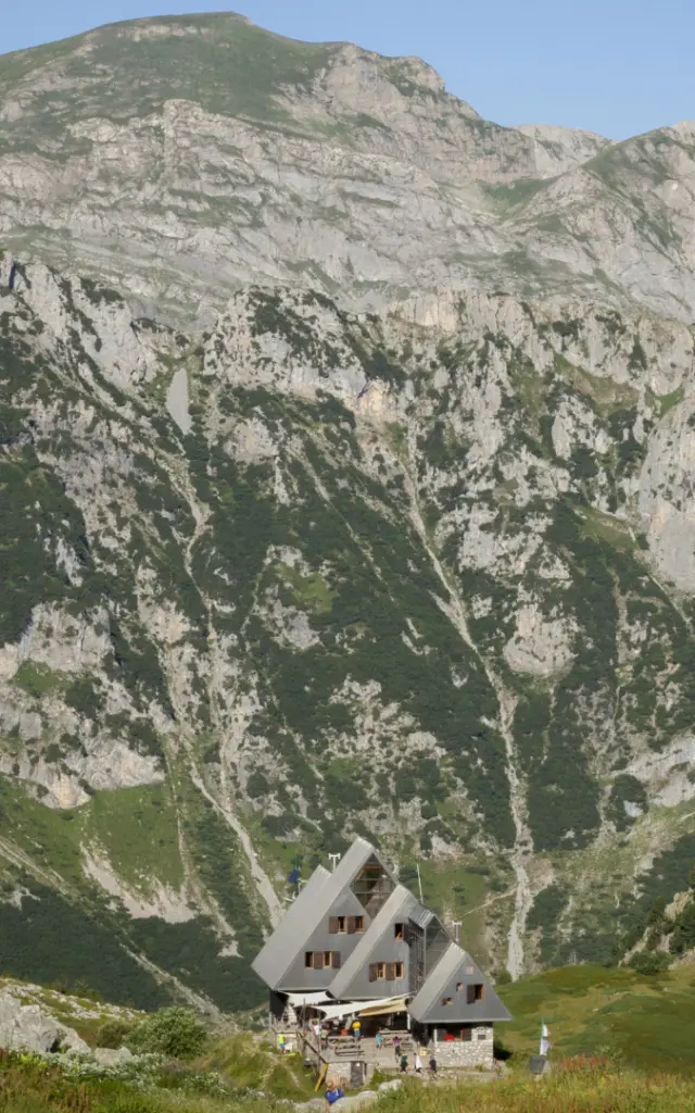
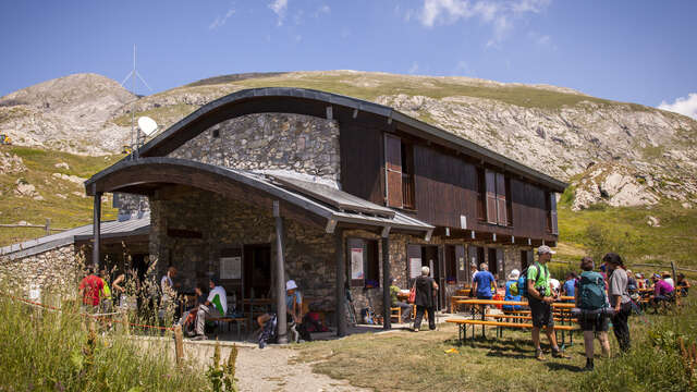
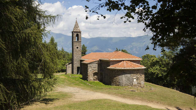
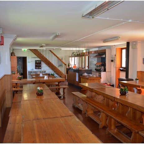
Throughout the itinerary, accommodation in refuges sets the pace with an authentic mountain atmosphere. The spacious and well-equipped Don Barbera refuge welcomes hikers, cyclists and horse riders around large wooden tables in the meadow. The CAI T. Gauzzi and La Terza huts, perched at almost 2,000 metres at the foot of Monte Saccarello, offer a memorable night at altitude. In Upega, “La Locanda di Upega” and the “La Porta del Sole” hut are two addresses much appreciated by connoisseurs. The CAI F. Allavena refuge in Colla Melosa, founded in 1947, is a point of reference for all outdoor enthusiasts in the region, with its new garage equipped for mountain bikers. On arrival, Sanremo offers all types of accommodation, from family pensions to hotels with sea views.
Testimonial
“7 days between Piedmont and Liguria, and the impression of crossing the whole of Northern Italy. In Limone Piemonte, you’d think you were in a mountain film. In Triora, you’re in a sixteenth-century novel. And at Sanremo, you realise that you’ve only just left the ridges and are now reaching the sea. What struck me most was the change in vegetation and light as you went along. And the Haute Route du Sel with its almost lunar landscapes… It’s incredible!
– Margot, touring hiker (full itinerary completed in August)
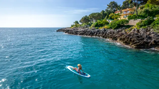
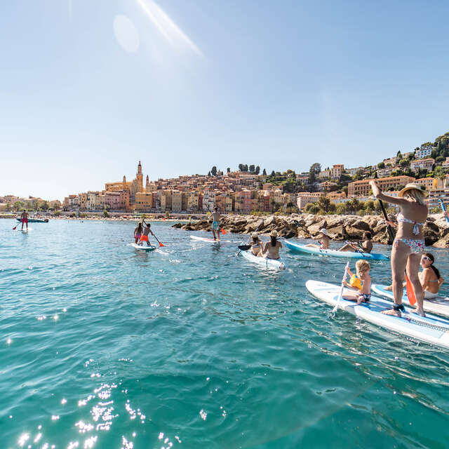
Cap Martin Paddle Littoral Isabelle Fabre
Everything you need to know about your walk between Limone Piemonte and Sanremo
- How do I get to the start in Limone Piemonte?
- How do I get back from Sanremo at the end of the tour?
- Where to stay on the route?
- What level of fitness is required for this tour?
- When is the best time to do this route?
- What must you see in Sanremo when you arrive?
- What walks can you do nearby?
- Can this route link up with other RivierALP stages?